 Use cases
Scaling geospatial data creation for national GIS
How AI-driven extraction lets national and regional GIS operations produce current data at a scale manual digitising never could.
Read more →Product updates, project stories, tutorials and use cases from the team mapping the world.
Use cases
How AI-driven extraction lets national and regional GIS operations produce current data at a scale manual digitising never could.
Read more → Use cases
Self-driving programmes burn enormous time and money on two things: building accurate maps of where they operate, and testing the vehicle against the near-infi…
Read more →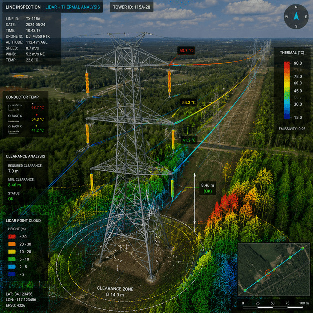 Use cases
How utilities use repeat imagery, AI and change detection to find risk along transmission corridors before it causes outages.
Read more →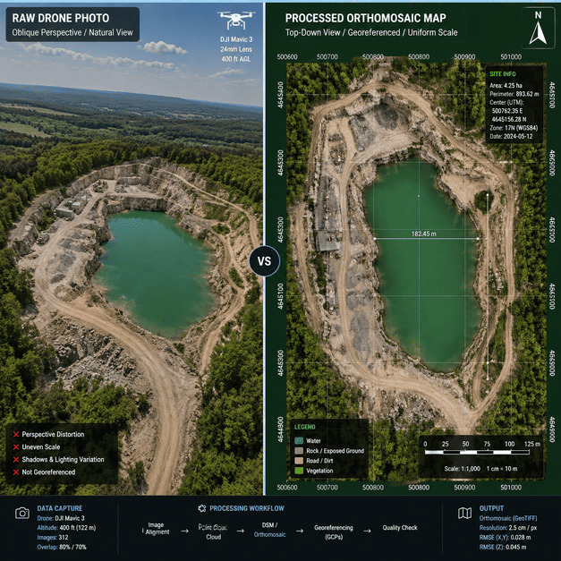 Use cases
When a flood, storm or earthquake hits, the first question responders ask is the hardest to answer quickly: what changed, and where? Crews cannot be everywhere…
Read more →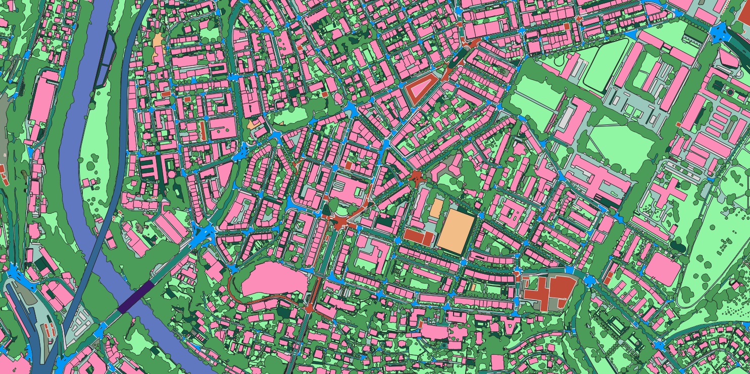 Use cases
Modernising emergency response for a mobile society starts with accurate, current geospatial data.
Read more →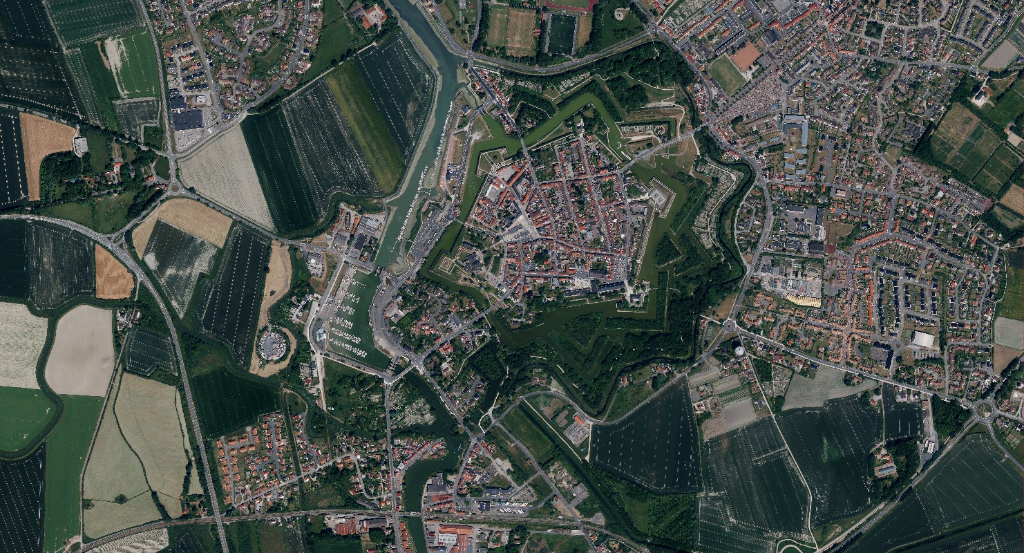 Use cases
Why a geospatial digital twin has become essential infrastructure for resilience, planning and analytics across industries.
Read more →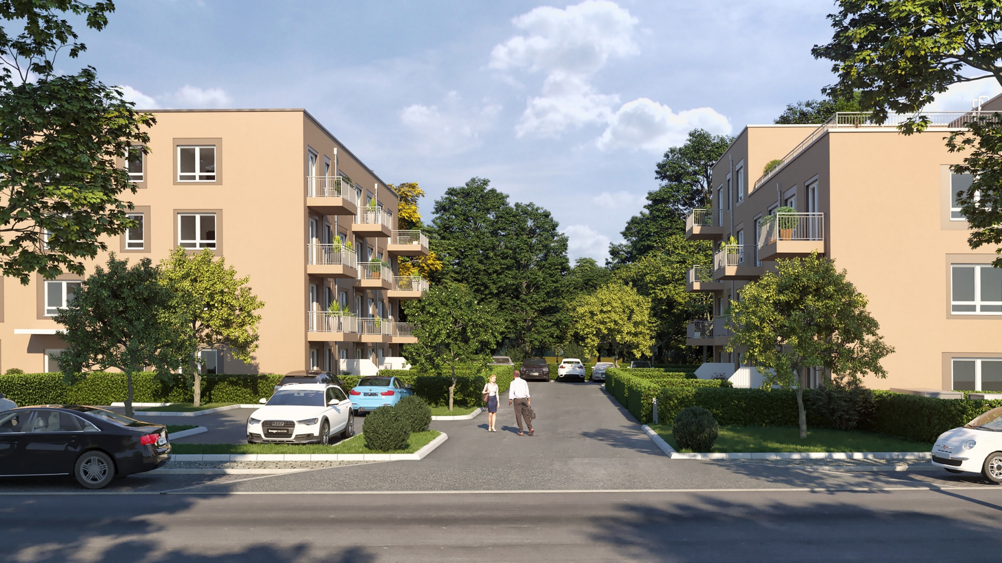 Use cases
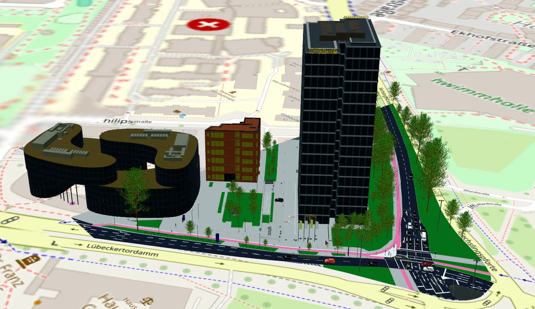
Planning decisions are spatial, but they are too often made on flat drawings and imagination. A digital twin — a true-to-life, measurable 3D model of the city …
Read more →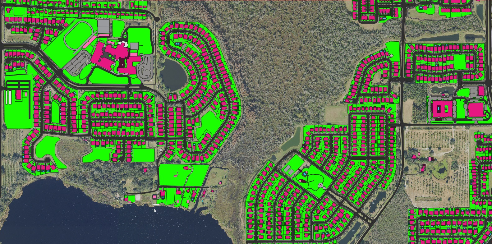 Use cases
When seconds count, an accurate, current road network is what lets dispatch find the nearest unit and the fastest route.
Read more →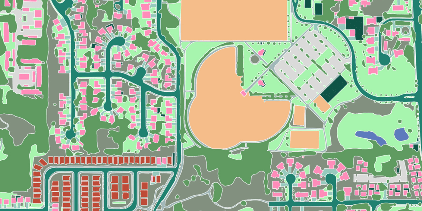 Use cases
Underwriting property risk at the building, not the postcode — geocoding precise enough to optimise a reinsurance portfolio.
Read more →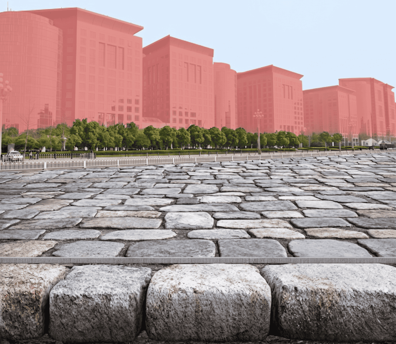 Use cases
Combining predictive analytics with GIS to build safer, more accessible, lower-carbon transport networks.
Read more →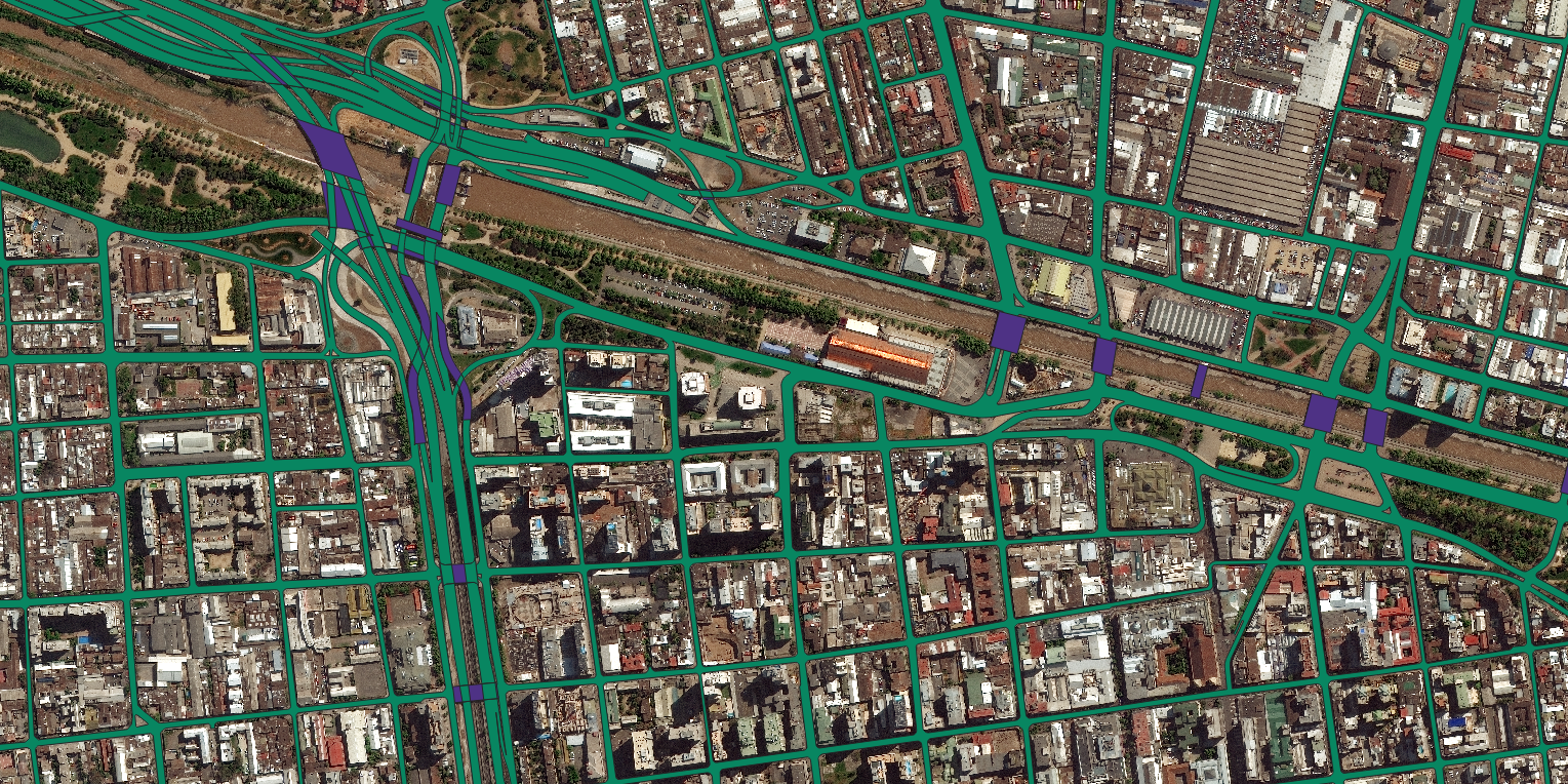 Use cases
High-resolution imagery and HD vector maps combined to give local government a current, reliable basemap for land administration.
Read more →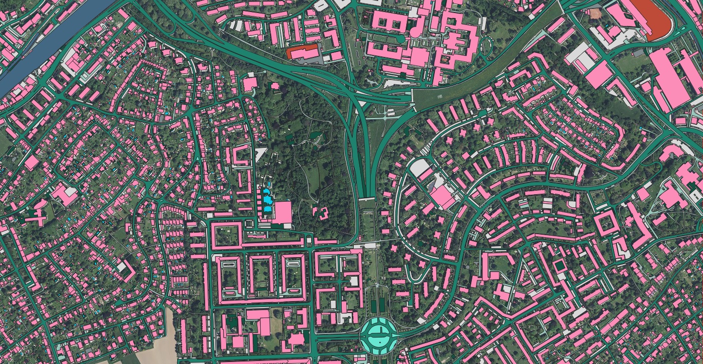 Use cases
How accurate basemaps and asset layers underpin civil-engineering work on telecommunications projects.
Read more → Use cases
Why building-based geocoding is the gold standard for property intelligence in insurance and beyond.
Read more →Send us your area of interest and what you need to see. We'll return a sample over your own location and walk you through the platform.