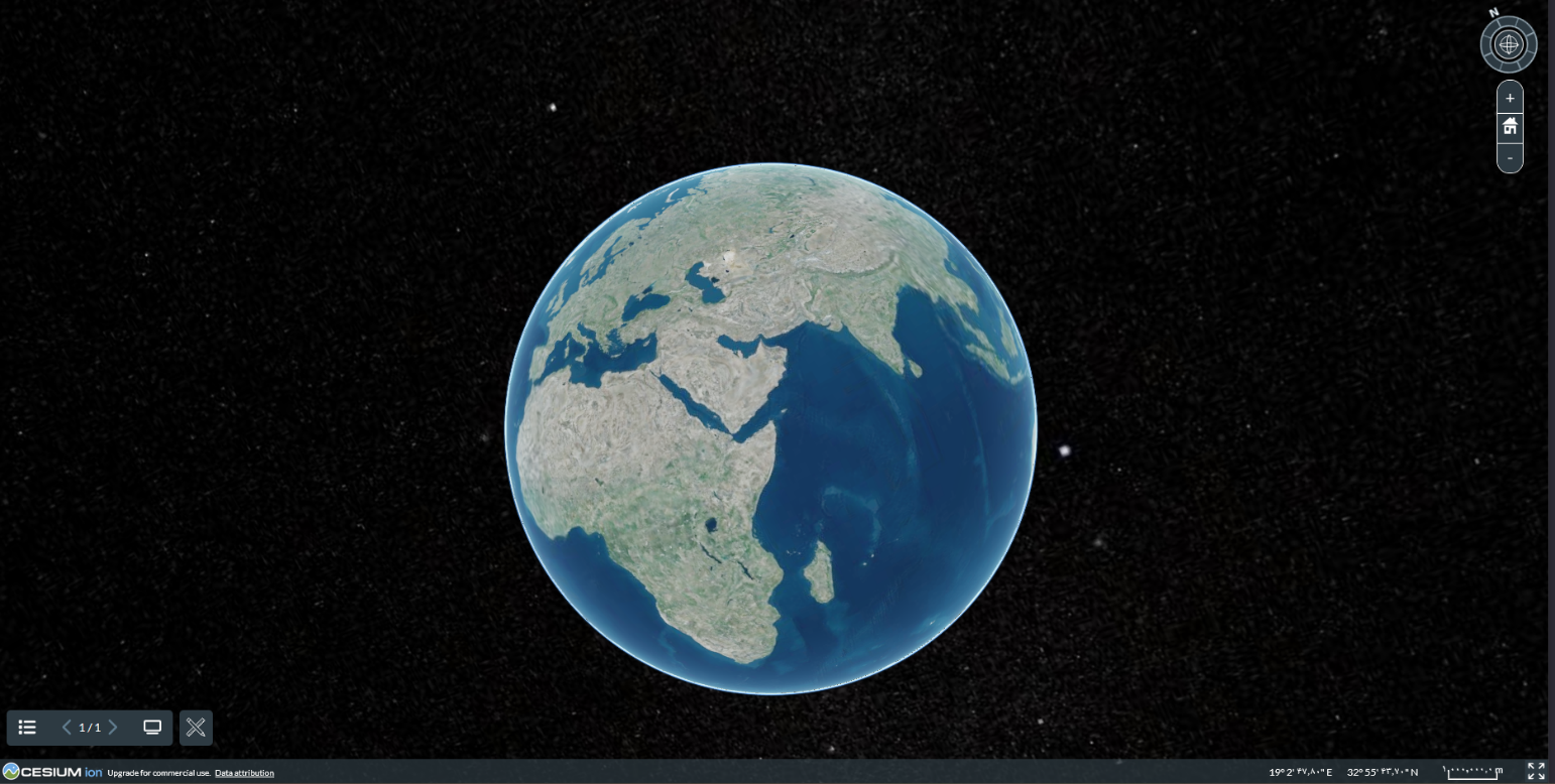
Interactive 3D globe
Stream 3D city models, meshes and imagery to any modern browser — no plugins.

Serve your maps and 3D twin in the browser with Rasad — no plugins.
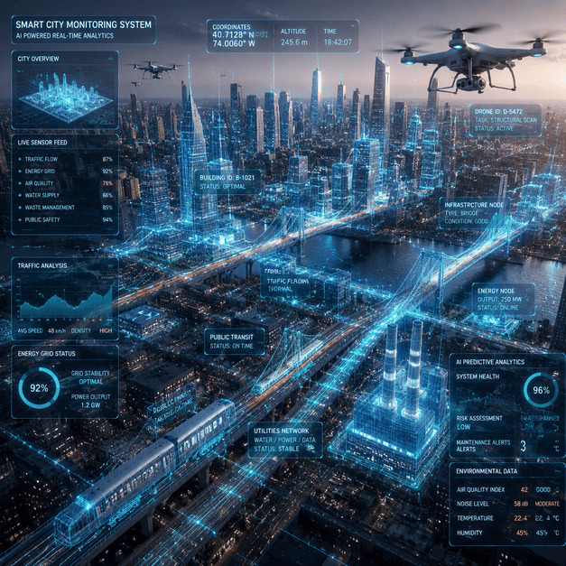
Rasad, our web-based 2D/3D GIS, hosts, visualises, queries and shares everything we produce — an interactive globe with a rich layer catalog, built on open standards so it plugs into the GIS you already run.
Stream 3D city models, meshes and imagery to any modern browser — no plugins.
Distance, area and height, plus elevation profiling along a line.
Spectral signatures and band-math indices, in the browser.
Worldwide 90 m base; real 30 m from the equator to ~43.6° N; refined where we have flown.
OGC API, WMS/WMTS/WFS, GeoJSON — connects to your data lake.
Self-hosted; run in your region or inside your network.
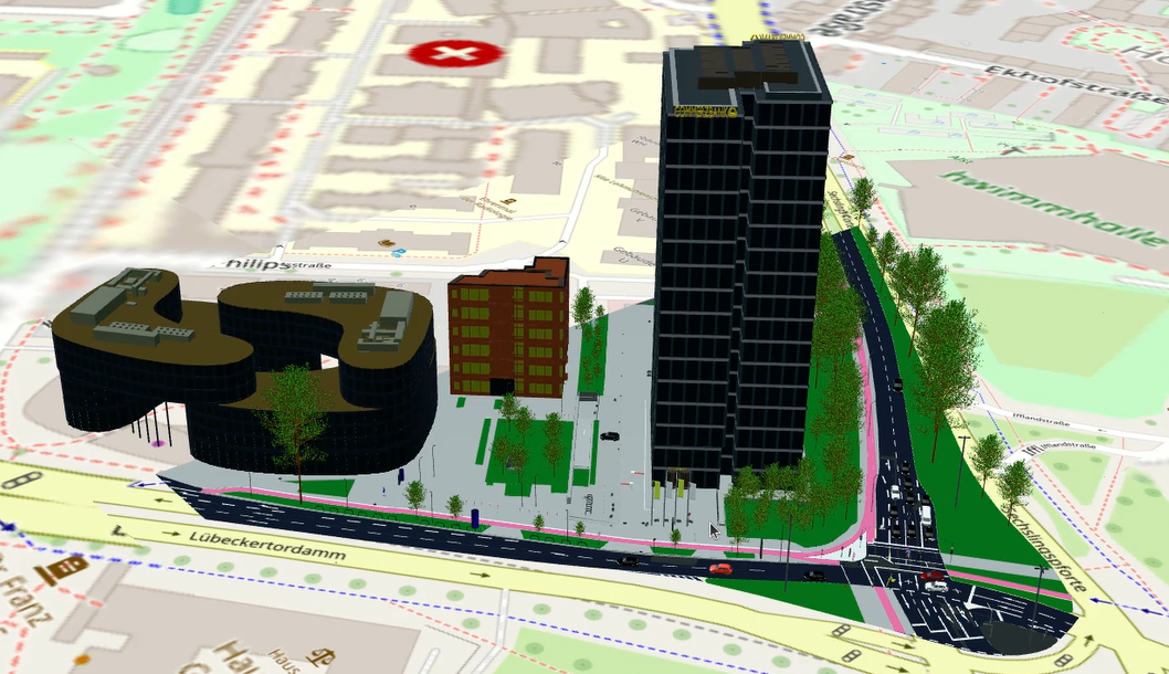
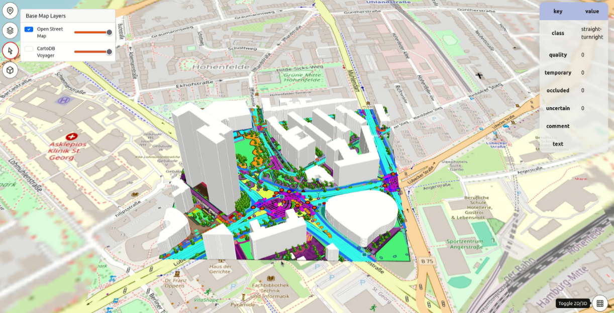
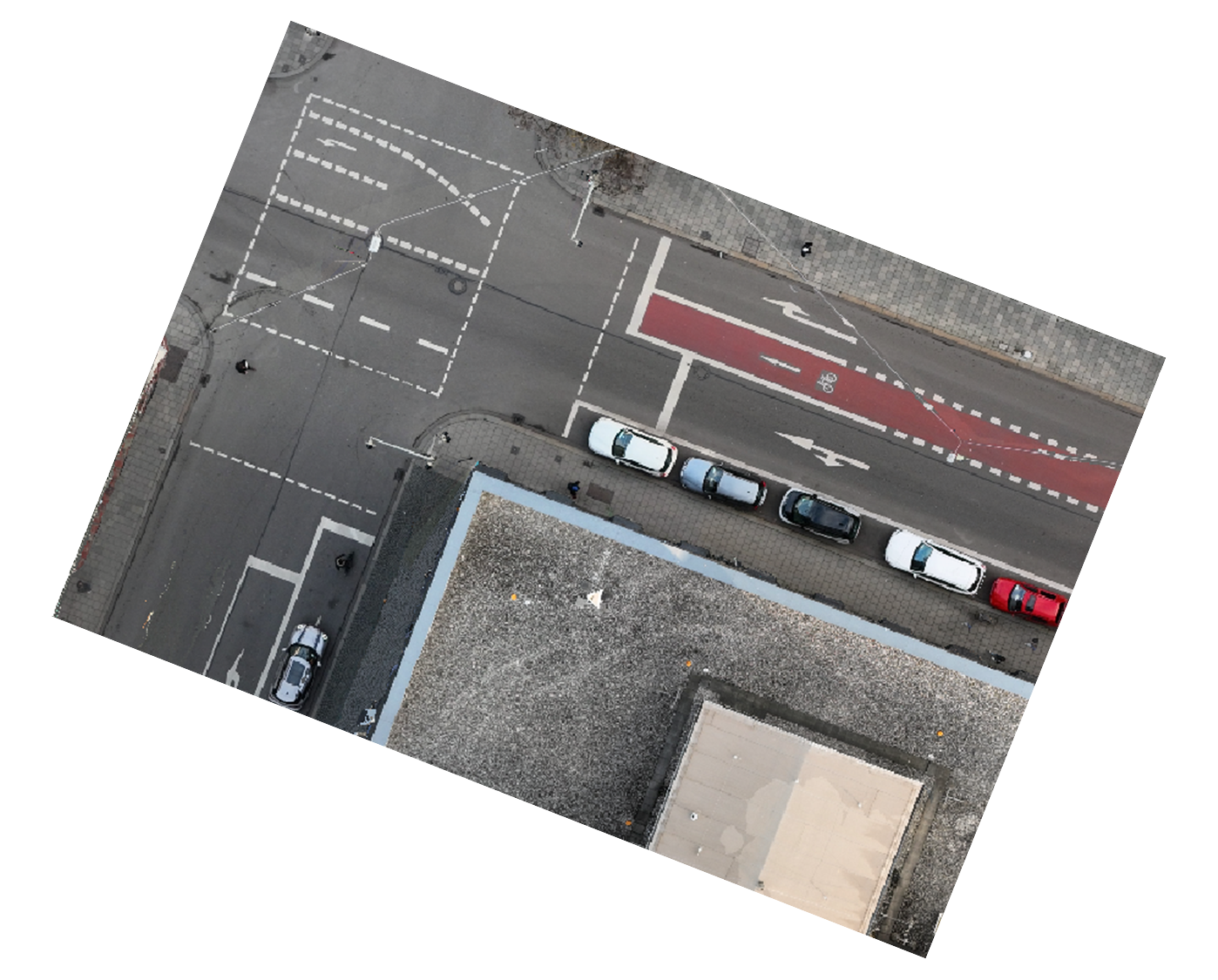
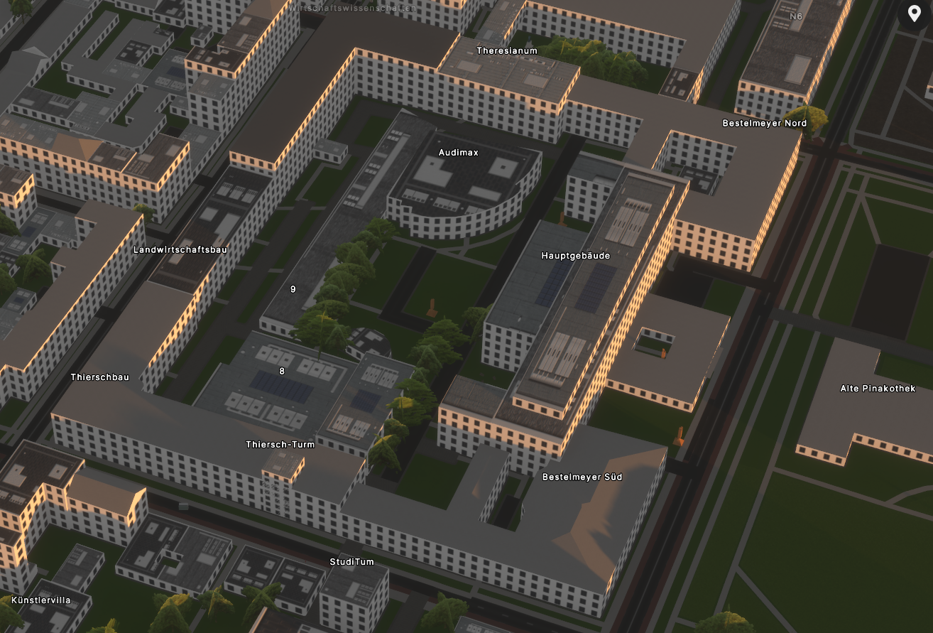
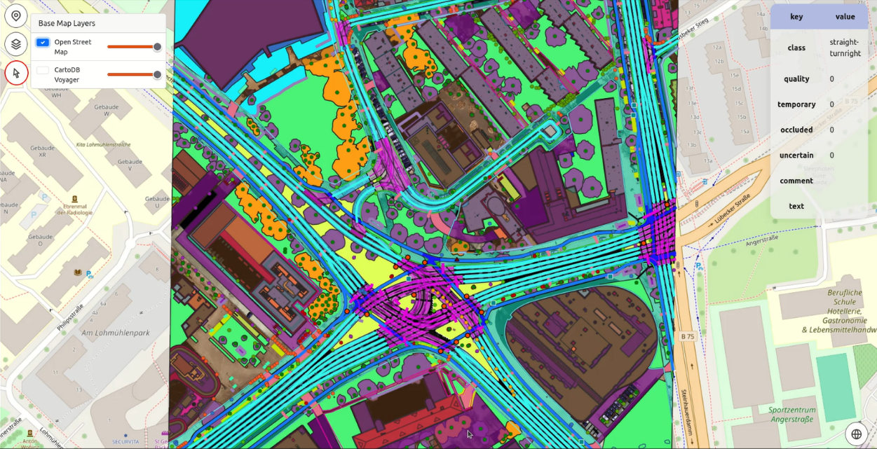
Genuine outputs from real projects — our own work. Drag to explore; click any image to enlarge.
Send us your area of interest and what you need to see. We'll return a sample over your own location and walk you through the platform.