Full-stack fusion
Space, air, ground and water (surface) fused into one model.
One living model of your territory — surface and subsurface.
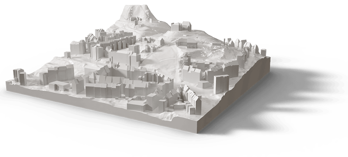
We fuse terrain, surface, buildings and infrastructure into a single, queryable 4D digital twin — the foundation for planning, climate, mobility and energy decisions.
Space, air, ground and water (surface) fused into one model.
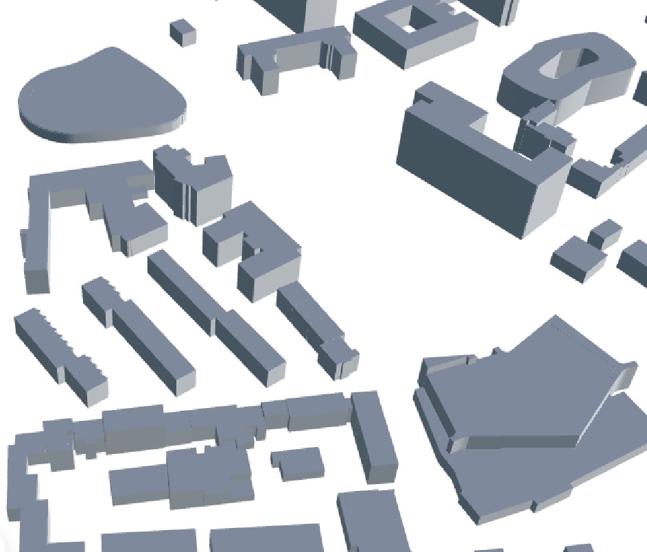
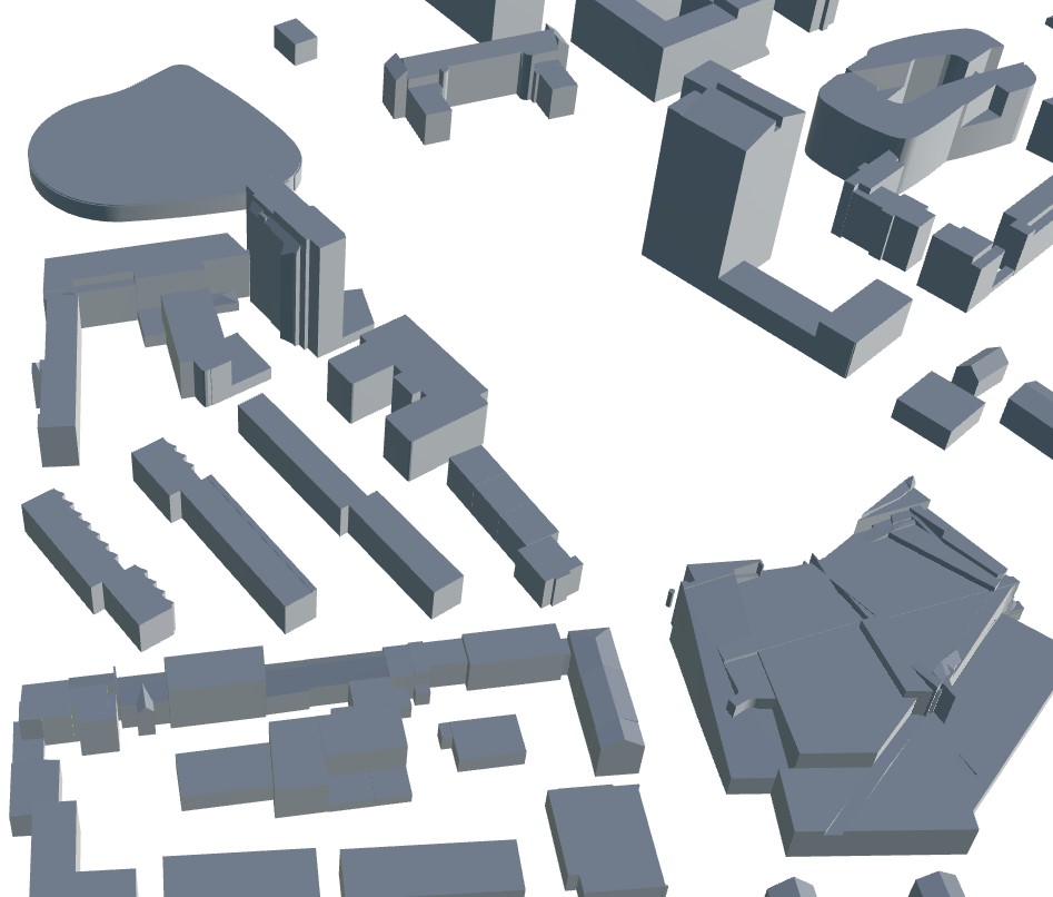
Classified, attributed objects you can query.
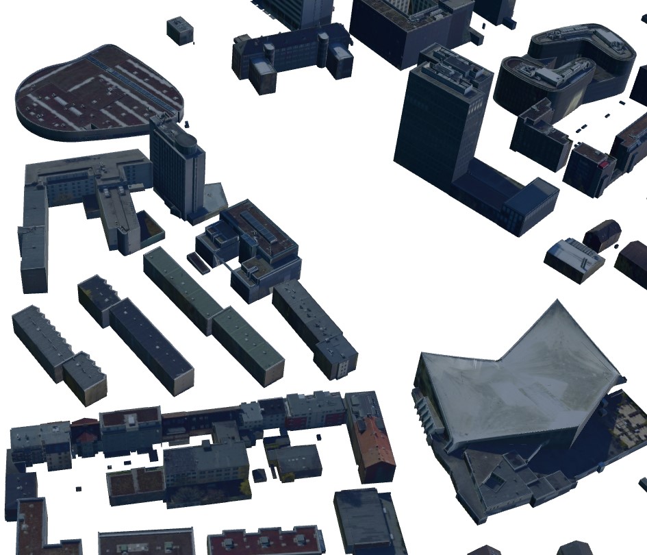
Refresh from new captures and detected change.
Utilities, GPR and borehole data extend the twin below ground.
Stream as 3D Tiles or export to your platform.
A base for simulation and what-if analysis.
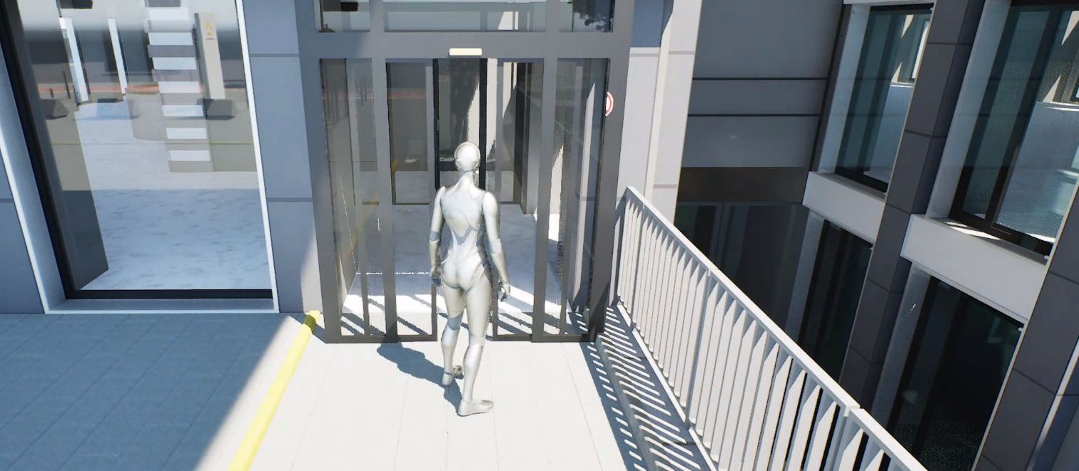
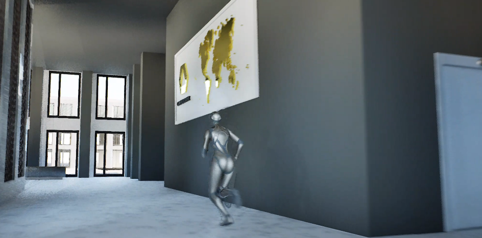
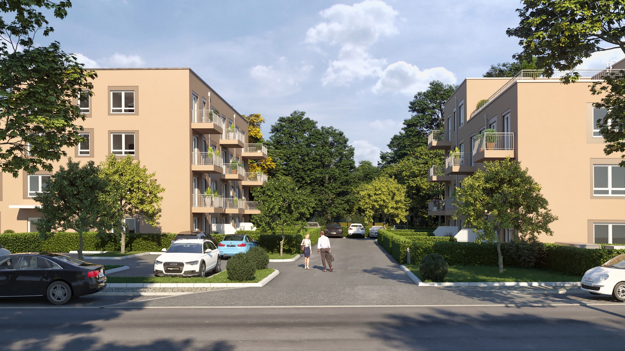
Genuine outputs from real projects — our own work. Drag to explore; click any image to enlarge.
Send us your area of interest and what you need to see. We'll return a sample over your own location and walk you through the platform.