The platform

From capture to simulation — one continuous platform.

Five stages, one source of truth. Each output references the same georeferenced ground truth, so your imagery, vectors, 3D and twin never drift apart.

01 · TASK

Acquire

New or archive tasking across sources & sensors.

02 · CORRECT

Enhance

Radiometric, atmospheric & geometric correction; super-resolution.

03 · UNDERSTAND

Detect

AI segmentation, detection, tracking & change.

04 · RECONSTRUCT

Model

Ortho, DSM/DTM, 3D, CityGML, SD/HD maps.

05 · SIMULATE

Twin

Web 3D, Unreal, VR/XR, metaverse.

Satellite, aerial and drone capture
01 · Tasking & capture

Any source, on demand or from archive.

We're source- and sensor-agnostic. Tell us the area of interest, the resolution and the cadence — we handle the rest, from a single new tasking to a continuously monitored AOI.

  • New tasking — fresh satellite, aerial or drone collection to your spec.
  • Archive tasking — historical imagery for baselines and back-analysis.
  • AOI lock — periodic capture with automatic change notification.
  • Optical · multispectral · hyperspectral · thermal · SAR · LiDAR.
Image enhancement and super-resolution
02 · Correction & enhancement

Clean, sharp, analysis-ready pixels.

Raw imagery is rarely usable as-is. Our pipeline removes the noise of the real world so downstream AI and 3D are built on solid ground.

Pansharpening

Fuse pan + multispectral for full-resolution colour.

Super-resolution

Single- & multi-frame upscaling for sharper detail.

Cloud removal

AI inpainting recovers ground under haze & cloud.

Atmospheric correction

Surface reflectance for reliable indices.

Geometry correction

Orthorectification & precise georeferencing.

Radiometric balance

Seamless mosaics across passes & sensors.

AI feature extraction and vector maps
03 · Geospatial AI

From pixels to vectors and answers.

Deep-learning models read every frame and turn it into structured, queryable geospatial data — at city and country scale.

  • Semantic, instance & panoptic segmentation — buildings, roads, vegetation, water, land use.
  • Object detection & tracking across time series.
  • Change detection with automatic notification.
  • Natural-language insight — ask questions, get maps & metrics back (LLM).
Photogrammetry, mapping and 3D models
04 · Mapping, photogrammetry & 3D

Survey-grade maps & 3D models.

Every classic photogrammetry product, plus AI-extracted maps — all georeferenced and export-ready in open formats.

Orthophoto

True & normal orthomosaics.

DSM / DTM

Surface & terrain elevation models.

Point cloud & mesh

Dense, textured, classified.

2D & 2.5D maps

Vector layers & basemaps.

SD / HD / OpenDRIVE

Lane-accurate road networks.

CityGML · OBJ · FBX

3D city models & assets.

Web 3D digital twin and simulation
05 · Twin, simulation & metaverse

A living twin you can walk, fly and simulate.

Serve your twin in the browser, or push it into game-engine fidelity for training and simulation — surface and subsurface in one model.

  • Web 3D WebGIS — stream 3D Tiles to any browser, no plugins.
  • Unreal Engine — photoreal, real-time, ready for simulation.
  • VR / XR & metaverse — immersive review, training and stakeholder buy-in.
  • Surface + subsurface fused for true space-to-underground context.
Open by default · no lock-in

We speak the open standards.

Every product exports to the formats your GIS, BIM, CAD and game engines already read — governed by the bodies that define geospatial and simulation interoperability. Your data stays yours.
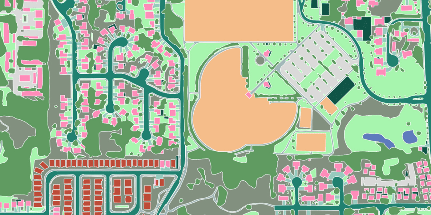
HD maps & roads

ASAM OpenDRIVEShapefileGeoPackageGeoJSON

Lane-accurate road networks in ASAM OpenDRIVE — the open road-network standard that driving-simulation and ADAS toolchains read natively — beside classic GIS vectors for everyone else.
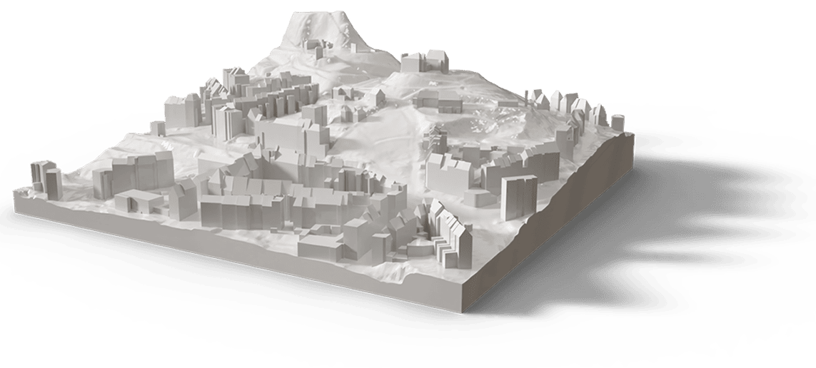
Semantic 3D cities

OGC CityGMLCityJSONbuildingSMART IFC

OGC CityGML carries meaning, not just geometry: every wall, roof and road is a queryable object across LoD1–LoD4, and fuses with IFC BIM for building interiors.

Real-time & exchange

Khronos glTF / GLBOpenUSDOBJFBXOGC 3D Tiles

Stream the same model into the browser, Unreal or Omniverse with glTF, OpenUSD and OGC 3D Tiles — web, BIM and metaverse from one source.

Raster, point cloud & CRS

GeoTIFFCOGJPEG 2000LAS / LAZWMS / WMTS / WFS · OGC API

Orthos and DSMs as GeoTIFF, point clouds as LAS/LAZ, served over OGC web services — all rigorously georeferenced (e.g. EPSG:32632, WGS 84 / UTM zone 32N).

Now onboarding pilot customers

Let's model your world.

Send us your area of interest and what you need to see. We'll return a sample over your own location and walk you through the platform.

or email hello@twinsphere.example.com