 Updates
Update: water & offshore mapping joins the stack
TwinSphere now spans space, air, ground and water — coastlines, ports, ships and offshore assets, in one continuous model.
Read more →Product updates, project stories, tutorials and use cases from the team mapping the world.
Updates
TwinSphere now spans space, air, ground and water — coastlines, ports, ships and offshore assets, in one continuous model.
Read more → News
News
Resolution is the currency of Earth Observation. A 30 cm satellite scene tells you a lot; a 7.5 cm one tells you whether a manhole cover has shifted. The catch…
Read more →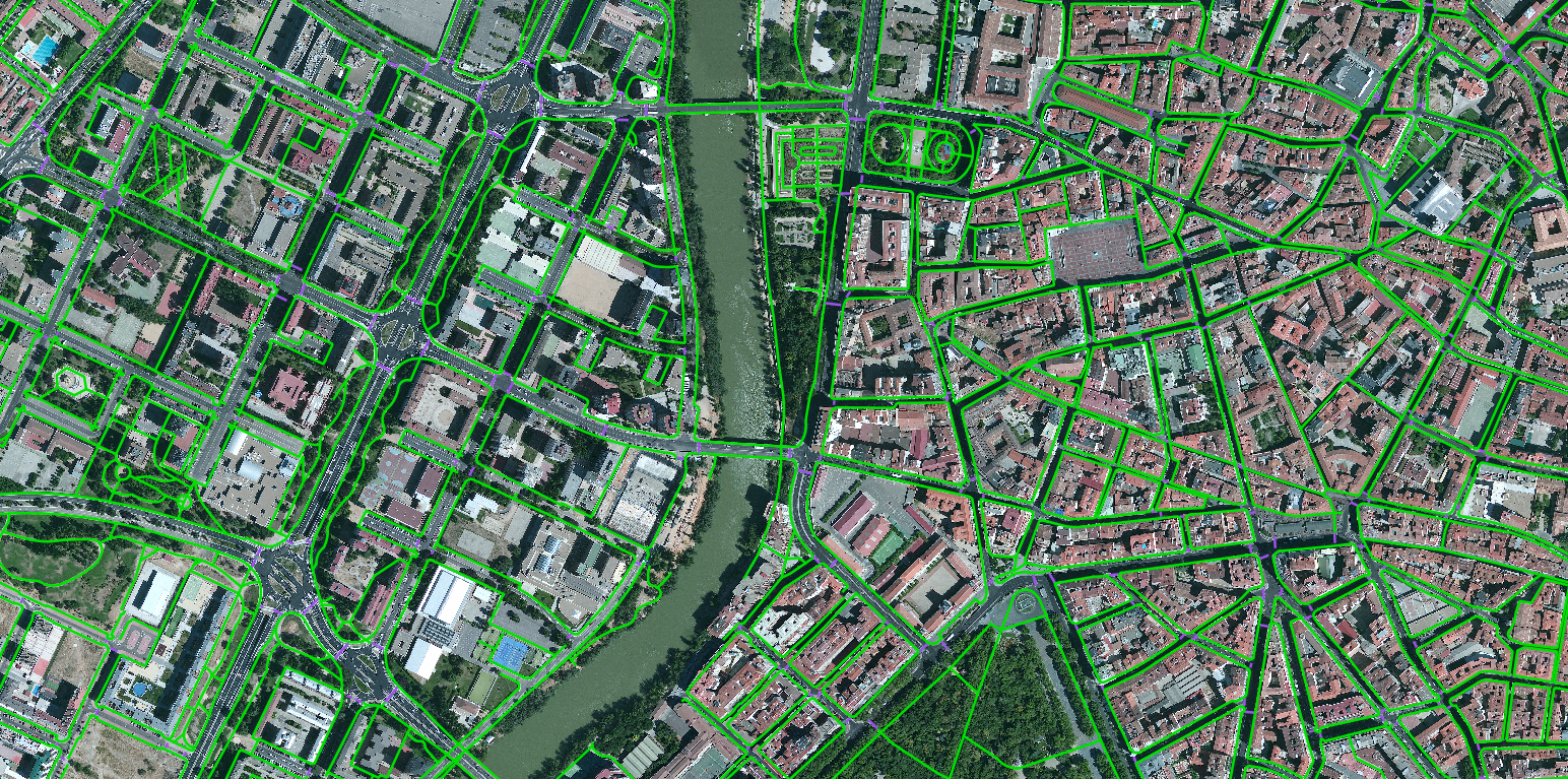 Datasets
Single-frame vehicle detection from high-resolution satellite imagery, split into large- and small-vehicle classes.
Read more →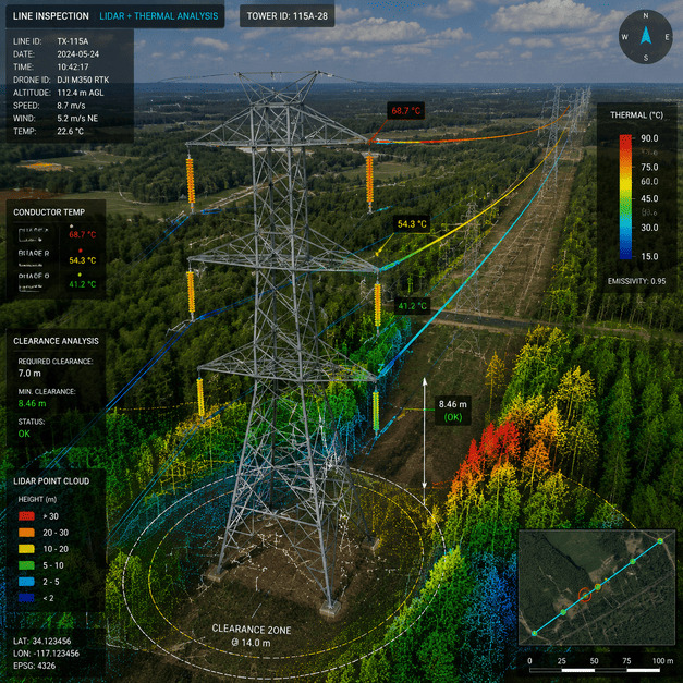 Use cases
How utilities use repeat imagery, AI and change detection to find risk along transmission corridors before it causes outages.
Read more →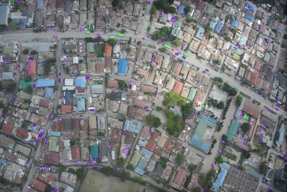 Projects
Multi-class vehicle detection with per-object attributes from low-altitude aerial imagery over Africa.
Read more → Use cases
When a flood, storm or earthquake hits, the first question responders ask is the hardest to answer quickly: what changed, and where? Crews cannot be everywhere…
Read more → Case studies
Vehicle damage detected from gate-camera images as oriented bounding boxes — automated inspection at the gate.
Read more →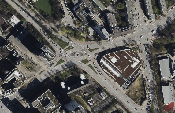 Datasets
Classifying road types from medium-resolution satellite imagery to complete the picture of a city's transport network.
Read more → Case studies
Fine-grained segmentation of individual vehicle parts from gate-camera images — each panel a labelled polygon.
Read more →Multi-object tracking across drone video — per-frame boxes and continuous trajectories with attributes.
Read more →Send us your area of interest and what you need to see. We'll return a sample over your own location and walk you through the platform.