We were selected to provide accurate, up-to-date mapping of all buildings across the Swiss region — a dataset that will support the expansion of Switzerland's digital infrastructure and help ensure equitable access to high-speed connectivity.
Building data for the digital divide
Like much of Europe, Switzerland is committed to closing the digital divide using spatial data to target broadband funding. The critical requirement is an accurate, comprehensive database of building footprints, so that every premises that should be connected is accounted for.
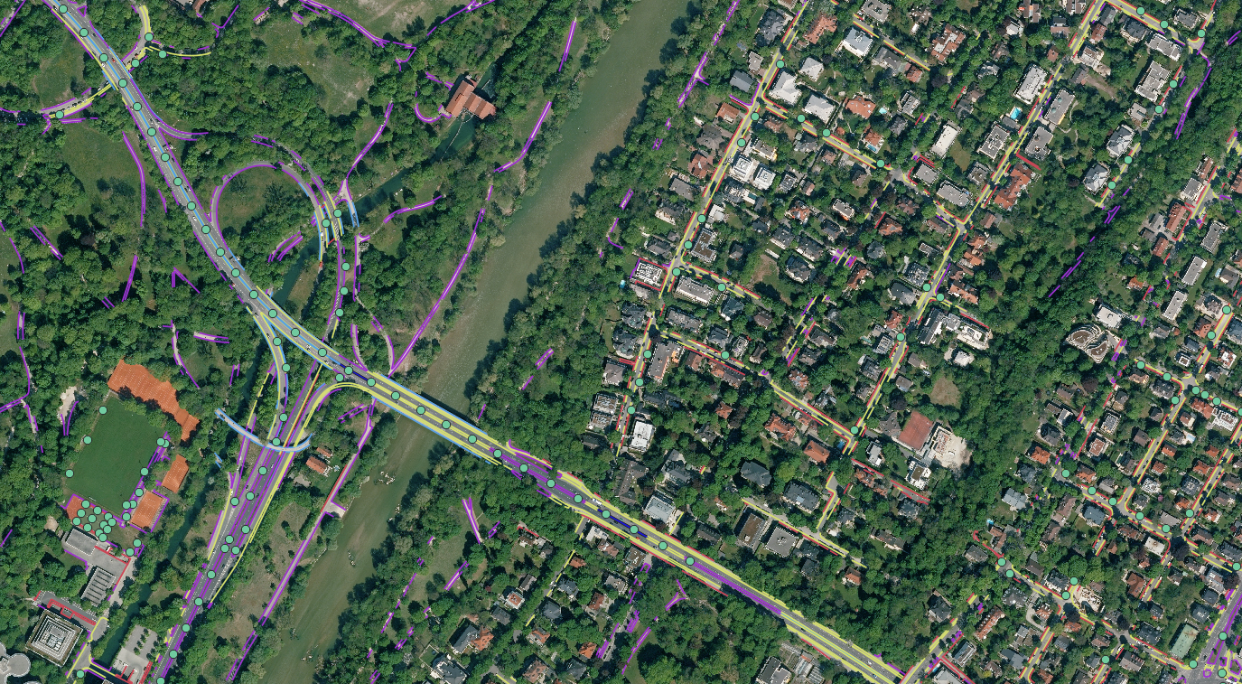
Zurich as the proving ground
Zurich — one of the country's most populous and economically important cantons, covering 1,729 km² and home to over 1.5 million people across urban, suburban and remote Alpine landscapes — gains access to AI-generated building footprints extracted from the latest imagery. That dataset becomes the definitive reference for mapping broadband-serviceable locations and pinpointing the gaps in coverage.