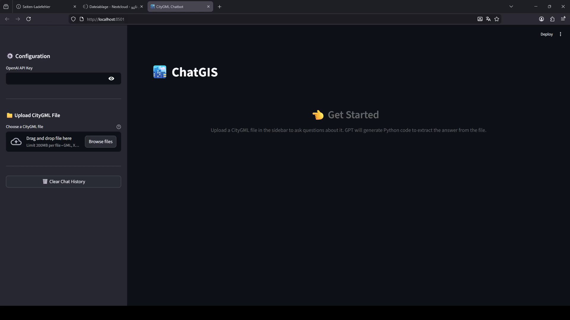
GIS is powerful and, for most people, intimidating. Buffers, joins, projections, attribute queries — the data holds the answer, but getting it out means knowing the tool. We wanted anyone on a team to be able to interrogate a map the way they would ask a colleague. So we built ChatGIS: a natural-language layer over your spatial data.
How it works
Ask “how many buildings are within 200 metres of the river?” or “show me roads resurfaced since last year” and ChatGIS translates the request into real spatial operations against your layers, then returns both the answer and the map. No syntax, no query builder — and every result links back to the underlying features so you can verify it.
Why it is different
- Grounded in your data. Answers come from your layers, not a guess — with the features to prove it.
- Auditable. Every response shows the operation it ran, so analysts stay in control.
- Self-hosted. Runs against your WebGIS, in your environment. Your data never leaves.
ChatGIS sits on top of our 3D web tile engine, so the same conversation works across 2D layers, terrain and full city models. Try the WebGIS demo.


