For Berlin's mobility teams we built an intelligent map of the street network and layered parking analytics on top — extracting the road network, measuring parking occupancy, and tracing the access routes that feed each parking lot.
The challenge
Road, parking and access data were fragmented and out of date. There was no automated way to pull roads from imagery, judge whether parking stalls were occupied, or map the routes that connect the main network to parking facilities.
Our approach
We fused high-resolution aerial and satellite imagery and let our AI models do the extraction:
- Roads — captured as a single, continuous class.
- Parking occupancy — identifying which stalls within a lot are occupied.
- Access routes — the entry, exit and internal circulation lanes that guide vehicles from the road network into the parking areas.
Results & benefits
- A unified, up-to-date map of Berlin's road network.
- A complete inventory of occupied parking spaces across lots.
- Access-route mapping that turns a static map into a planning tool for kerb and parking policy.
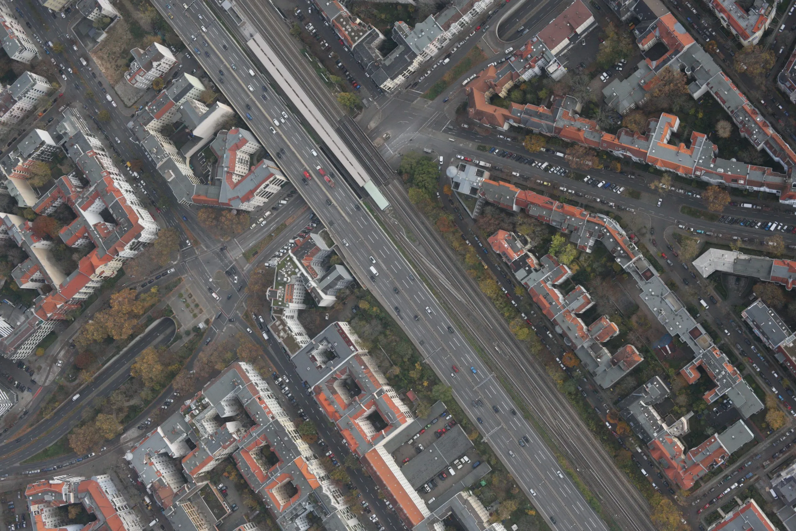
Sample results
Drag the slider to compare imagery and AI output.
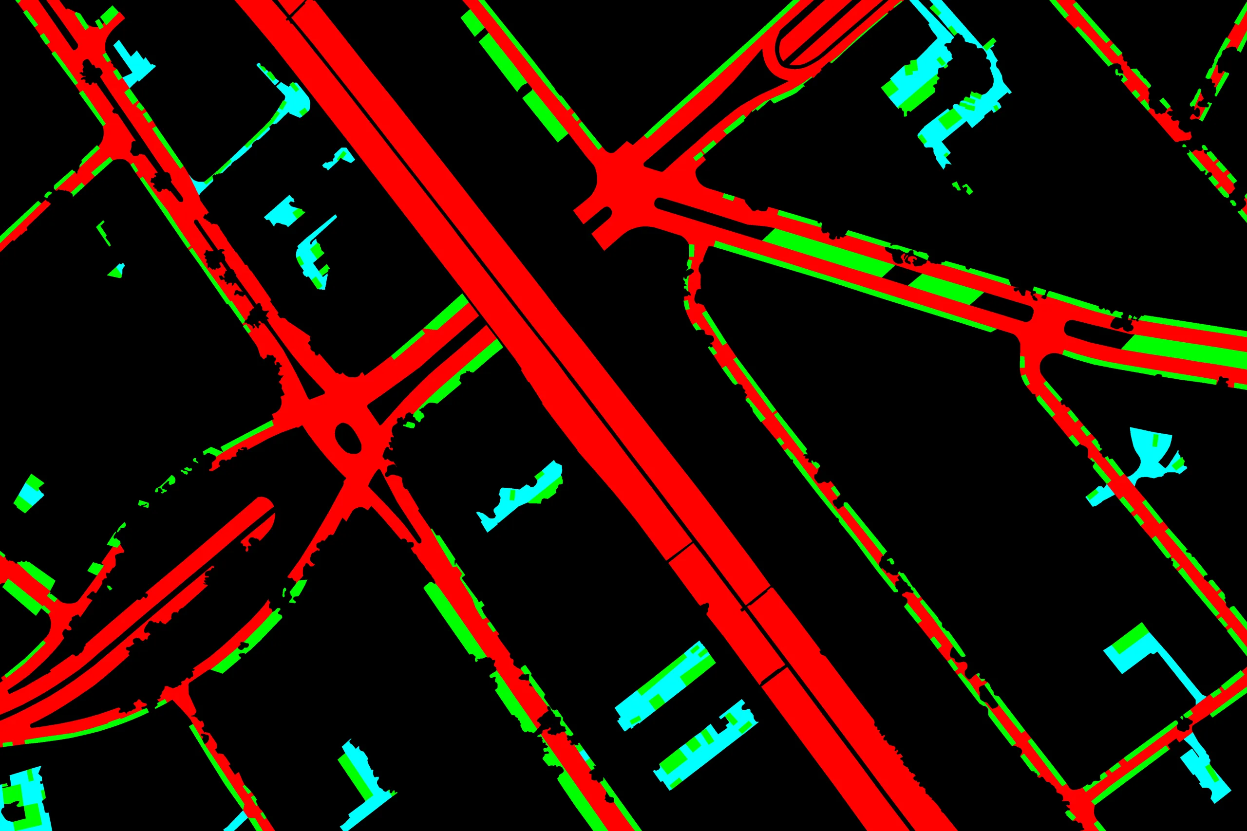 ImageRoads & parking

